A PLACE IN THE CITY'S HISTORY
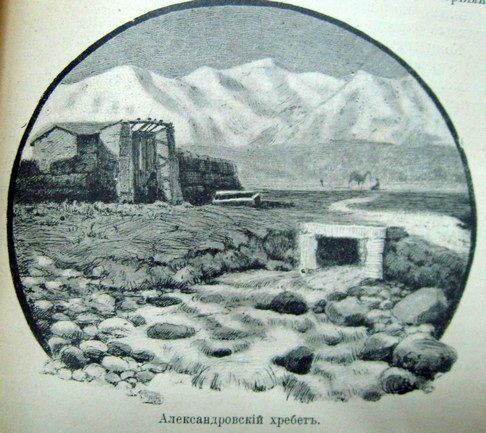
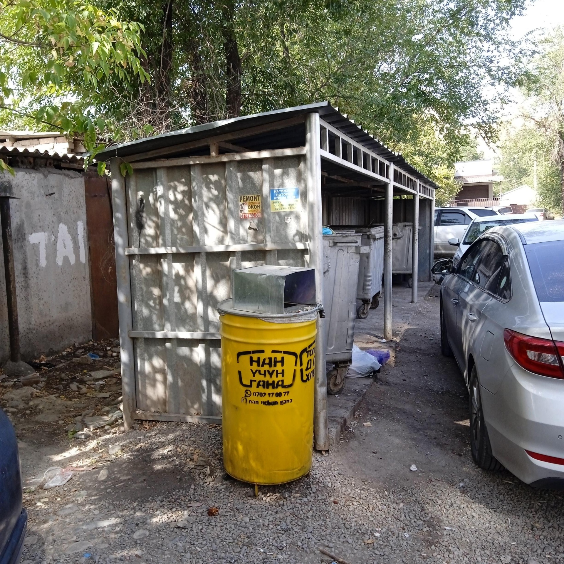
Southern outskirts of the city of Pishpek
Then
Pishpek
Now
Bishkek
Source and rightsАвтор фотографии: Фотография от 2ГИС
A PLACE IN THE CITY'S HISTORY
Southern outskirts of the city of Pishpek
Pishpek
Outskirts In a drawing by Boris Smirnov from 1904, one of the channels of the Ala-Archa River in the upper part of the city. By the beginning of the twentieth century, the area of Pishpek was about 50 square meters. km. There was only about 5 square meters under construction. km. There were 40 streets in the city. The city's borders ran along Verkhnyaya Street in the south, Northern (Kurenkeeva) Street in the north, Zavodskaya (Beishenalieva) in the west and the Alamedin River in the east.
Frunze
Information not foundA translation for the selected language is not ready yet.
No information found yet
Bishkek
A translation for the selected language is not ready yet.
No information found yet
What changed
No information found yet
Source and rights